


 57 Huynh Thuc Khang - Dong Da - Hanoi
 02435533388
 vnptit@vnpt.vn

 Contact
VNPT-IT Presents UAV and AI Applications for Digital Economy Development and Resource Management in Lâm Đồng
On 24 September 2026 in Da Lat, VNPT-IT presented how the VNPT UAV Platform ecosystem, combined with artificial intelligence (AI), could support Lâm Đồng Province’s digital economy and resource management at a roundtable on connecting the supply and demand of Make in Viet Nam digital technology products and services for local digital economy development.
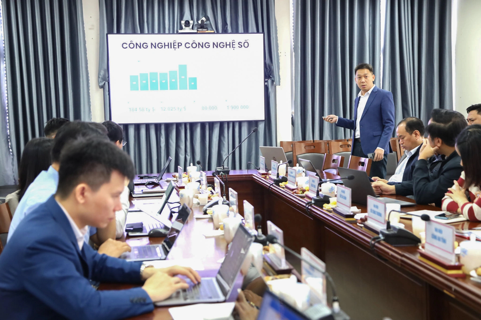
The event was jointly organized by the Department of Information Technology Industry under the Ministry of Science and Technology and the Lâm Đồng Department of Science and Technology. Phạm Đắc Bảo, Director of VNPT-IT’s UAV Lab, presented “Applications of UAV and AI in Building Databases, Monitoring Natural Resources and the Environment, and Developing Digital Agriculture.” His presentation focused not only on advanced technology but also on the province’s specific conditions, showing how VNPT UAV Platform fits Lâm Đồng’s socioeconomic needs.
A solution tailored to Lâm Đồng
Lâm Đồng has considerable potential, along with complex challenges in managing resources across the province. Two key economic areas illustrate where VNPT-IT’s technology could help:
Protecting forests and the environment: Lâm Đồng has extensive forest and forestry land, as well as complex terrain. Monitoring these areas manually or through traditional methods is difficult. VNPT’s UAV solution provides aerial monitoring of changes, helping detect forest fires, forest loss and unauthorized land leveling early. AI can also help assess declines in forest resources. The system supports water quality monitoring and the detection of landslides and environmental pollution.
Digitizing high-tech agriculture: Accurate data is essential to Lâm Đồng’s high-tech agriculture ambitions. VNPT UAV Platform helps digitize growing areas, continuously monitor crop development and identify problems such as pests, disease or crop stress in time. Farmers and management agencies can use this information to improve yields, reduce costs and move toward precision agriculture that supports sustainable exports.
Building a shared database and avoiding fragmented investment
A central idea VNPT brought to the event was a shared platform. Instead of each department or agency investing separately in UAV systems and servers, fragmenting data and wasting funds, VNPT UAV Platform can collect data for multiple map layers in a single flight.
After collection, AI processes images, video, LiDAR and multispectral imagery and integrates them into Lâm Đồng’s shared geospatial database. Agriculture authorities can use the data to manage production-area codes, natural resources and environment authorities to track landslides, and forestry authorities to protect forests.
Through flexible and secure technology platforms, VNPT-IT aims to help build a greener, smarter and more prosperous Lâm Đồng, contributing directly to the province’s digital economy, green economy and low-altitude economy goals.