57 Huynh Thuc Khang - Dong Da - Hanoi
 02435533388
 vnptit@vnpt.vn
 Contact
Comprehensive, Visual Management
Monitor the current status, changes, and emerging issues across the area by sector.





Smart Urban Planning, Construction, and Management Platform
VNPT Smart Urban is a shared data management and smart operations platform that supports the management, utilization, and analysis of multi-sector data to facilitate state administration and data-driven decision-making.
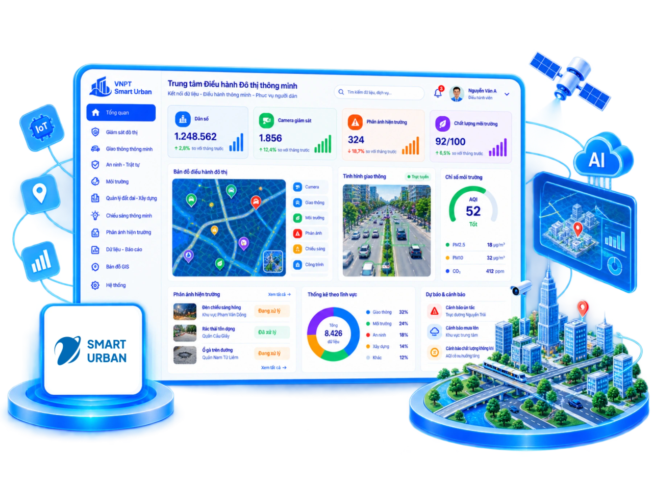
Monitor the current status, changes, and emerging issues across the area by sector.

Integrate data from central, ministerial, and local levels to create a unified management overview.

Dashboards, GIS maps, and visual reports support real-time monitoring.

Establish centralized digital data assets as a foundation for smart communes/wards and digital twins.

Connecting and aggregating multi-sector data; reducing redundancy in data collection and updates.

Convenient access to information, submission of feedback, and tracking of results for citizens and businesses.

Ready for integration with GIS, 3D/BIM, AI, IoT, UAV, and real-time data.




Construction – Transport – Digital Map Line; Multi-sector Digital Data Solutions Center (MDS)