57 Huynh Thuc Khang - Dong Da - Hanoi
 02435533388
 vnptit@vnpt.vn
 Contact
Industry-specific maps
Provides data for road, waterway, railway, maritime, and multimodal transport.





Geospatial data management, analysis, and utilization platform
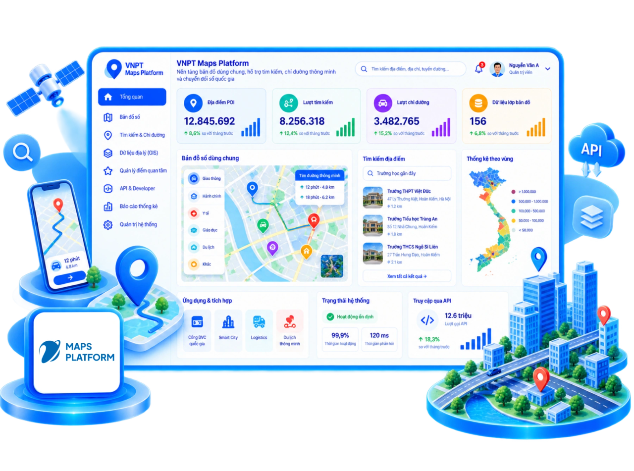
VNPT Maps Platform is a shared base map platform serving government agencies, businesses, and citizens; it provides Vietnamese-developed map data, location services, and routing capabilities hosted on VNPT infrastructure.
Provides data for road, waterway, railway, maritime, and multimodal transport.

Supports tourism management, building energy management, and various specialized spatial analysis tasks.

Data and infrastructure operated domestically, ensuring security and proactive updates.

Compliant with Cybersecurity Law regulations and independent of foreign platforms.

Proactive operations ensure rapid and accurate data updates.

Comprehensive API/SDK support; ready for integration with IoT, remote sensing, AI, Machine Learning, and 3D scanning.




Construction – Transport – Digital Map Line; Multi-sector Digital Data Solutions Center (MDS)