57 Huynh Thuc Khang - Dong Da - Hanoi
 02435533388
 vnptit@vnpt.vn
 Contact
Geospatial Artificial Intelligence
Applies AI, ML, and DL to satellite imagery, UAVs, GIS data, and IoT feeds to automate analysis, knowledge extraction, and spatial forecasting.





Multi-purpose remote sensing ecosystem
VNPT iSAT is a comprehensive technology solution ecosystem integrating remote sensing, GIS, and geospatial artificial intelligence (GeoAI). This suite of solutions enables state management agencies and enterprises to digitize spatial environments; monitor resources, the environment, and the agriculture/forestry sectors in real-time; proactively manage natural disaster risks; and pursue sustainable development.
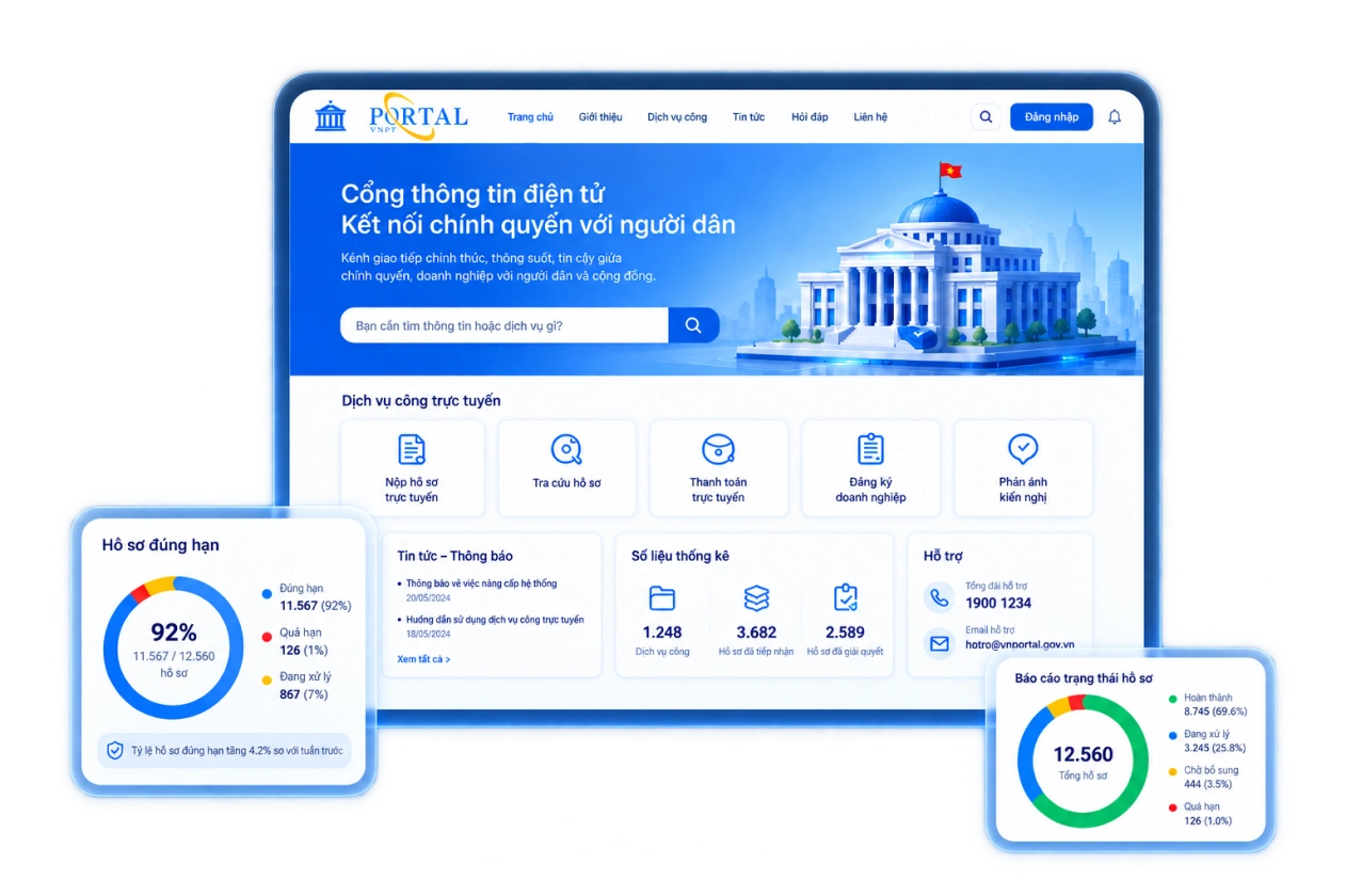
Applies AI, ML, and DL to satellite imagery, UAVs, GIS data, and IoT feeds to automate analysis, knowledge extraction, and spatial forecasting.

Integrates satellite imagery and UAV/drone footage, utilizing AI for image resolution enhancement.

Includes image preprocessing, standardization to the VN-2000 coordinate system, and compliance with OGC, WMS, and WFS sharing standards.

Compares before-and-after imagery to detect new construction, environmental changes, deforestation, and wildfires.

A WebGIS platform integrating multiple modules and synchronizing data across central, provincial, and commune levels, as well as with field users.

Connects AI thermal cameras, environmental and meteorological sensors, and acoustic sensors via LoRaWAN.
Real-time data visualization; automated generation of charts, maps, and reports.
End-to-end record management from cultivation areas to consumption; supports EUDR, FSC, and VPA/FLEGT compliance.
Operates on VNPT’s international-standard Cloud and Data Center platforms, ensuring data security.
Integration with Public Service Portals, FRMS, VNPT iLIS, and the LGSP of the Ministry of Agriculture and Ministry of Environment.

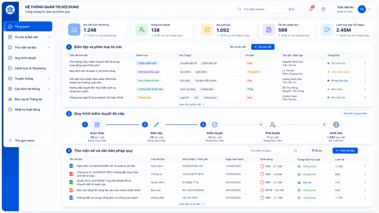

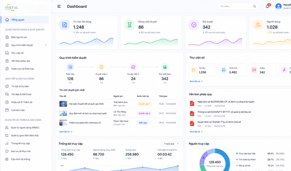
Standardize national remote sensing data and monitor digital transformation across the Natural Resources and Environment sector.

Automate monitoring of land, construction, and forests; reduce redundant investment across units.

Reduce manual inspections, receive automated alerts, and make rapid decisions using visual maps.

Support traceability, ensure compliance with export standards, and utilize standardized spatial data.
Receive location-based natural disaster alerts, look up zoning plans, and ensure transparency in forest environmental service payments.



Line GeoAI - Land and Natural Resources & Environment Solutions Center