57 Huynh Thuc Khang - Dong Da - Hanoi
 02435533388
 vnptit@vnpt.vn
 Contact
Specifically designed for the commune level
Aligned with the authority and operational land management workflows of commune-level People's Committees within the two-tier local government model.





Commune-level land digital transformation solution
VNPT iLIS Ward is a specialized land management software solution designed for commune, ward, and special administrative unit authorities, delivered via the SaaS model on VNPT's cloud infrastructure. The product comprehensively digitizes the management of public land funds, compensation, support, resettlement, and site clearance, as well as the lookup of land-use planning and zoning, fully aligning with the 2024 Land Law and the two-tier local government model.
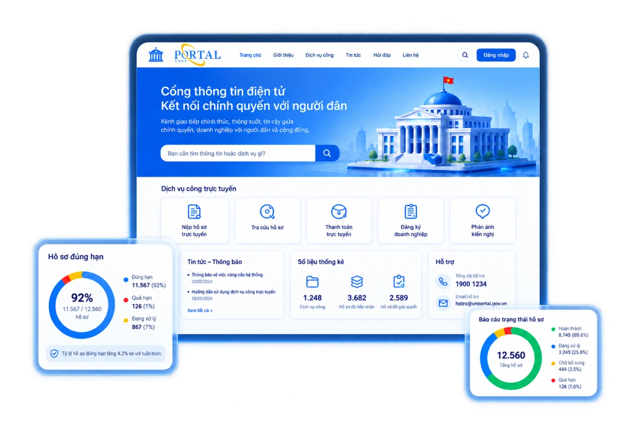
Aligned with the authority and operational land management workflows of commune-level People's Committees within the two-tier local government model.

Tracks individual land parcels and lease contracts, provides automatic expiration alerts, and minimizes budget revenue loss.

Real-time visual monitoring of projects, land parcels, and affected households.

Displays land parcels and planning boundaries; supports quick and accurate information lookup.

No server investment required; ready for immediate use after setup; low cost and easily scalable.

Connect and synchronize with the provincial land information system (VNPT iLIS).

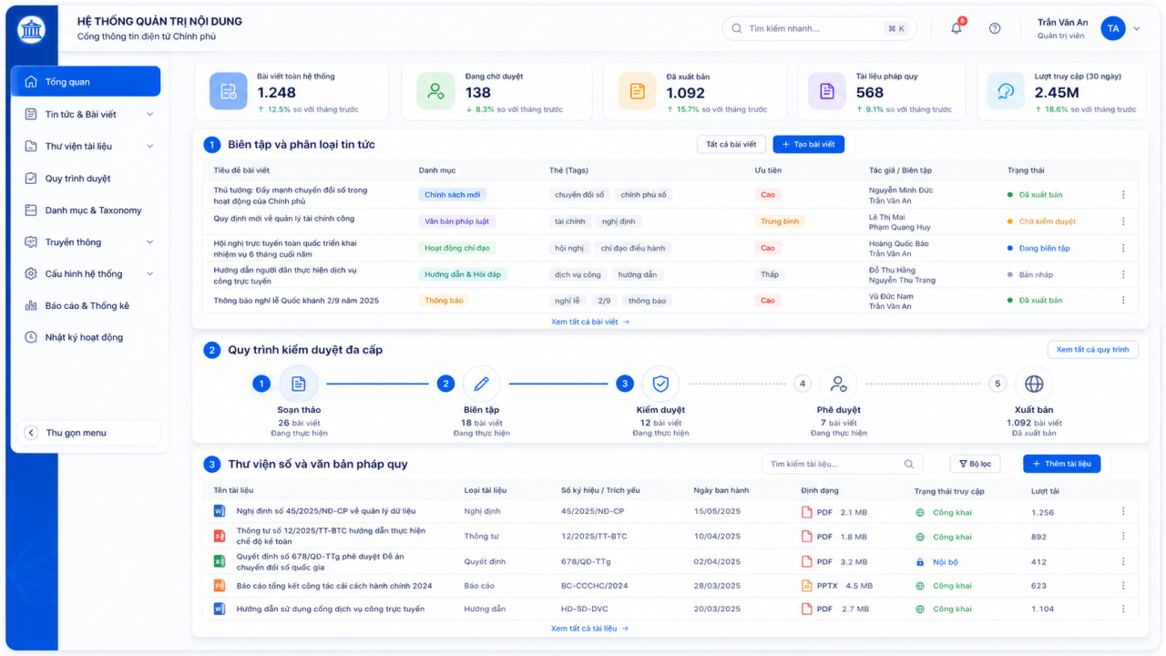
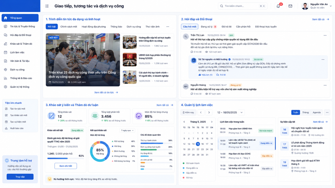
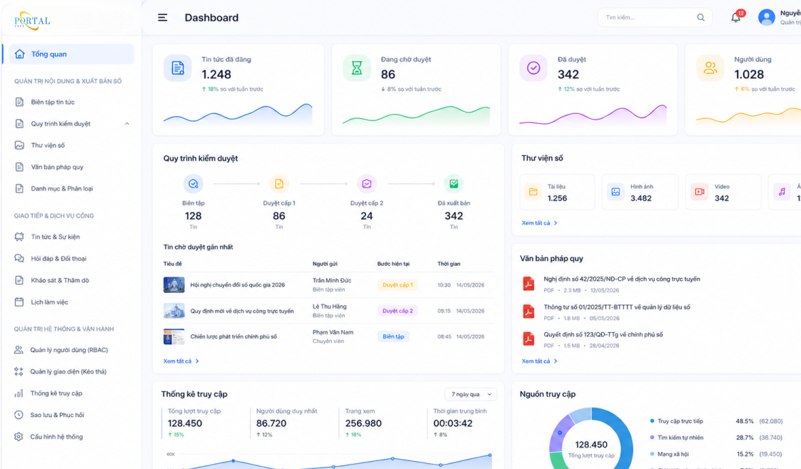
Fully aligned with the 2024 Land Law and current guiding regulations.

Focuses on handling administrative tasks under the jurisdiction of Commune People's Committees within a two-tier government model.

Unified management of public land parcels, contracts, and site clearance records, complete with audit trails.

SaaS model enables immediate use without investment in servers or dedicated administrative personnel.
Synchronizes with provincial-level land systems to eliminate redundant data entry.
VNPT’s network across 34 provinces and cities provides support for training, operations, and troubleshooting.


Land Solutions Line – Center for Land and Natural Resources & Environment Solutions