57 Huynh Thuc Khang - Dong Da - Hanoi
 02435533388
 vnptit@vnpt.vn
 Contact
Comprehensive operational features
Handles land fluctuation registration and land use right certificate issuance while managing data centrally, thereby reducing application processing times.





VNPT iLIS Land Management Information System
VNPT iLIS is a specialized software solution designed to support land management across provinces and cities. It facilitates land record adjustments and updates, land registration, certificate issuance, land database construction, and the processing of administrative procedures. Aligned with the 2024 Land Law, current decrees and circulars, and the two-tier local government model, the solution enables centralized, transparent data management and ensures rapid service delivery to citizens.
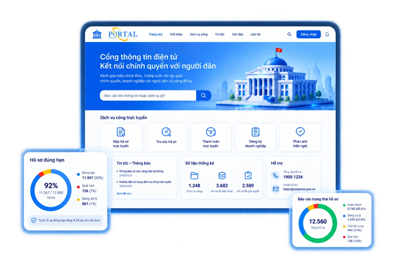
Handles land fluctuation registration and land use right certificate issuance while managing data centrally, thereby reducing application processing times.

Displays, edits, and updates land parcel boundaries and planning boundaries; supports map lookup, editing, and parcel subdivision or consolidation directly on the web platform.

Enables real-time integration with Public Service Portals, tax authorities, and national databases for land and population data.

Complies with tiered system security standards, supports cyberattack prevention, and implements two-factor authentication (2FA).

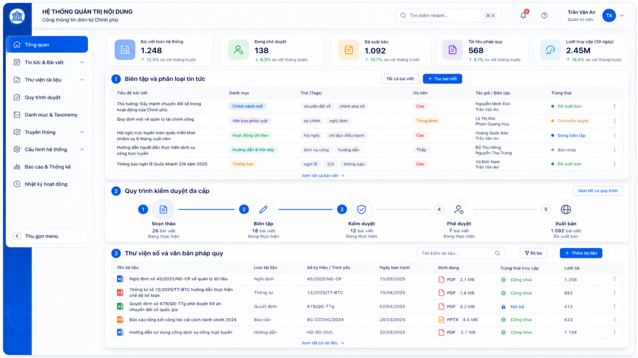

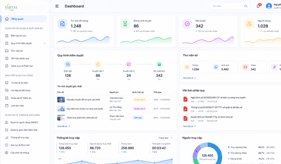
Aligned with the 2024 Land Law and current guiding decrees and circulars.

Data conversion tools from existing software help shorten the time required to put the system into operation.

Land procedure processing managed openly and consistently.

VNPT network across 34 provinces and cities provides support for training, operation, and software updates in accordance with new regulations.



Land Solutions Line – Center for Land and Natural Resources & Environment Solutions