57 Huynh Thuc Khang - Dong Da - Hanoi
 02435533388
 vnptit@vnpt.vn
 Contact
A single map – A comprehensive sector-wide view
Integrates data on land, agriculture, forestry, the environment, water resources, and minerals within a unified GIS space.





Geospatial portal
VNPT Geoportal is a comprehensive digital platform that integrates, manages, and visualizes data regarding land, agriculture, forestry, the environment, water resources, minerals, and related sectors on a GIS foundation. The system creates a comprehensive digital overview of the entire sector, providing dashboards, thematic maps, and tools for analysis, monitoring, and alerts to support data-driven decision-making by leadership.
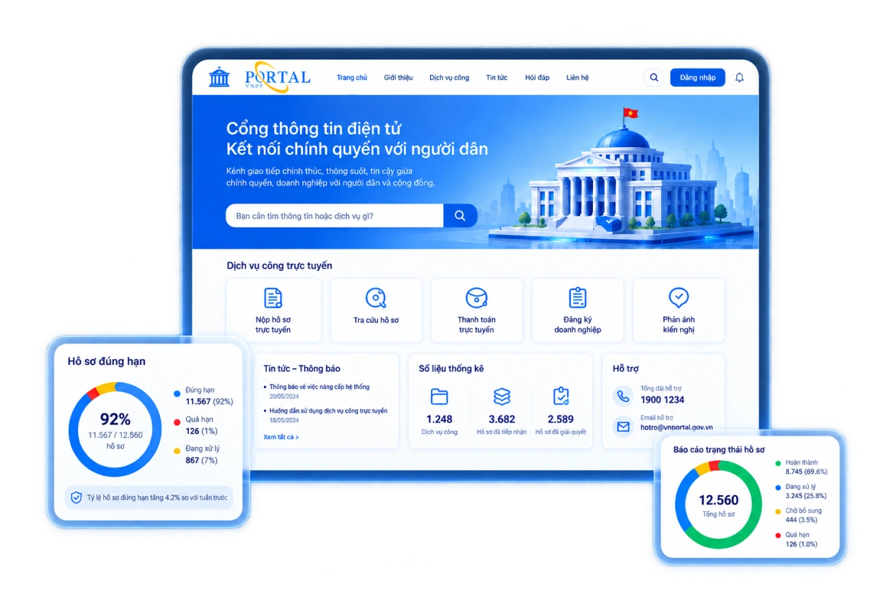
Integrates data on land, agriculture, forestry, the environment, water resources, and minerals within a unified GIS space.

Establishes a centralized, integrated database; minimizes data fragmentation and duplication; and facilitates cross-sector data sharing.

Dashboards and thematic maps facilitate the tracking of metrics, current status, and changes, enabling data-driven decision-making.

Combines GIS, IoT, remote sensing, and specialized data to provide early warnings of emerging risks.

Overlays data on land, water, the environment, climate, crops, and livestock to generate a multi-dimensional perspective.

Connects specialized systems with provincial and ministerial platforms, generating data sources for Big Data, GeoAI, and forecasting applications.

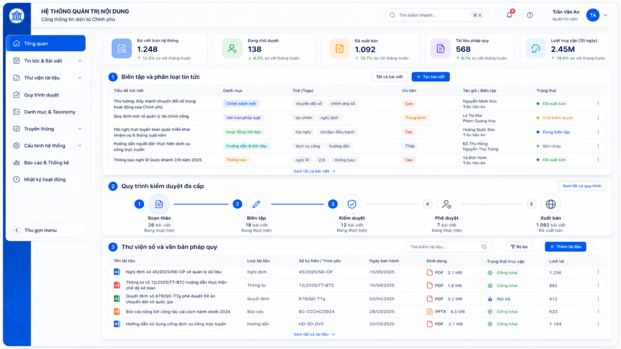
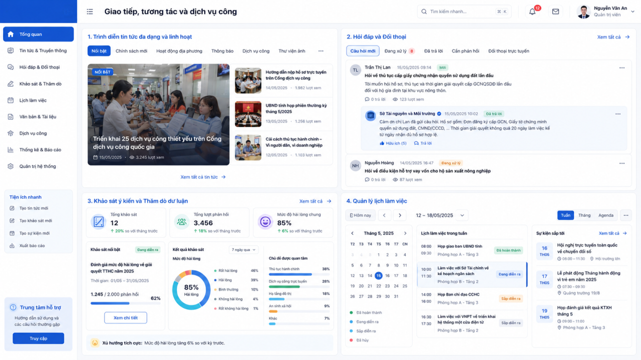
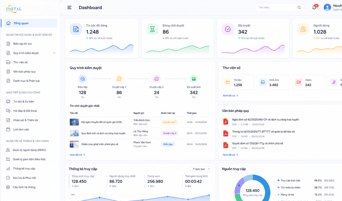
Serves as shared data infrastructure and lays the groundwork for Big Data, GeoAI, IoT, and smart operations.

Aggregates, analyzes, and visualizes data to enhance monitoring, forecasting, and decision-making.

Creates a unified, cross-sector integrated GIS environment, minimizing data silos and redundancy.

Visualizes current status, changes, issues, and hotspots across space and time.
Integrates GIS, IoT, monitoring, UAVs, remote sensing, and GeoAI for anomaly detection and early warning.



Line GeoAI – Land and Natural Resources & Environment Solutions Center