


 57 Huynh Thuc Khang - Dong Da - Hanoi
 02435533388
 vnptit@vnpt.vn

 Contact
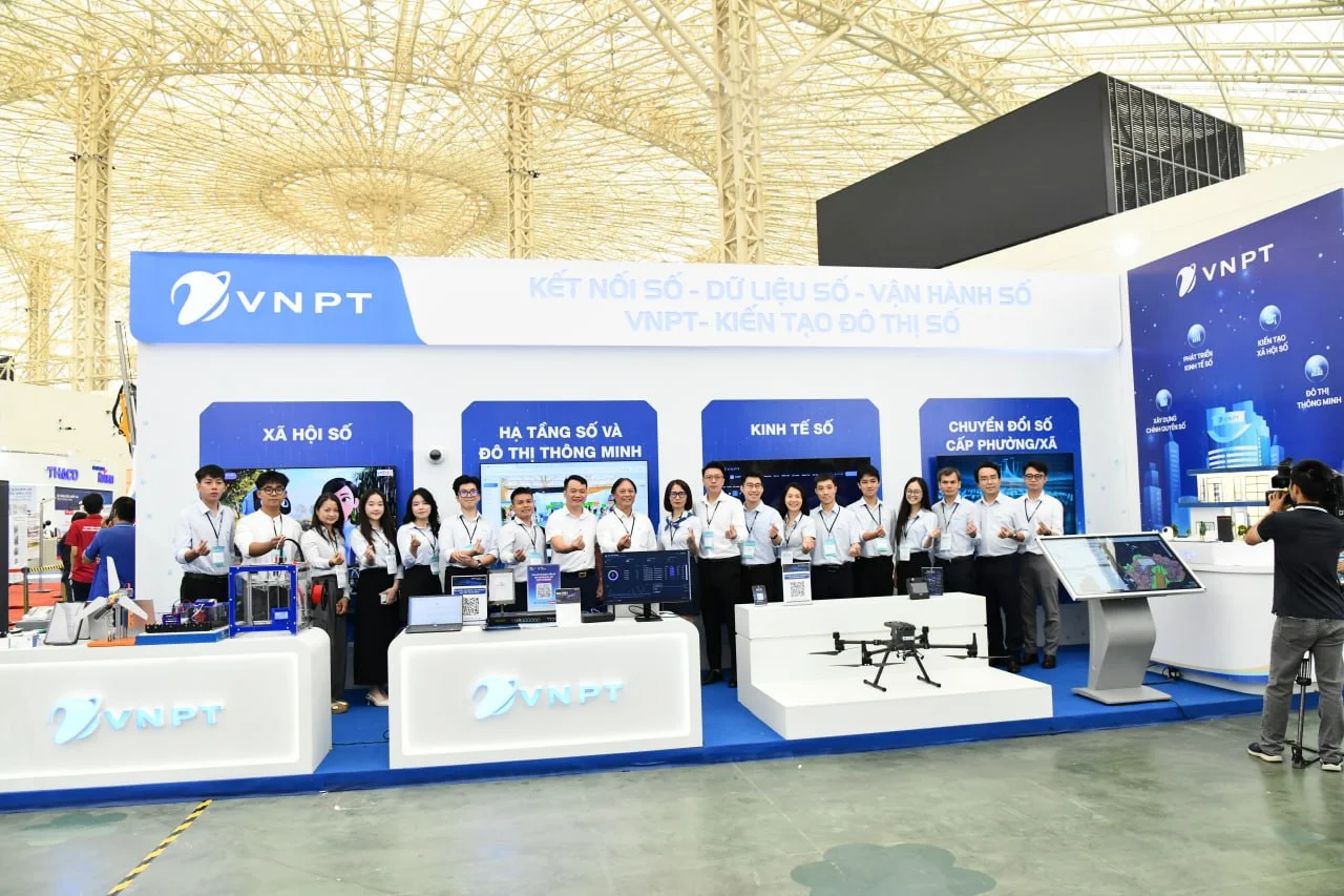
As part of the National Digital Future Forum & Smart City Asia Exhibition 2026, taking place from 8-10/2026 at the National Exhibition Center, on the morning of 09/10/2026, the VNPT booth VNPT had the honor of welcoming Minister of Science and Technology Vũ Hải Quân, Deputy Minister of Science and Technology Phạm Đức Long, and a delegation of ministry leaders, who visited and experienced its services.
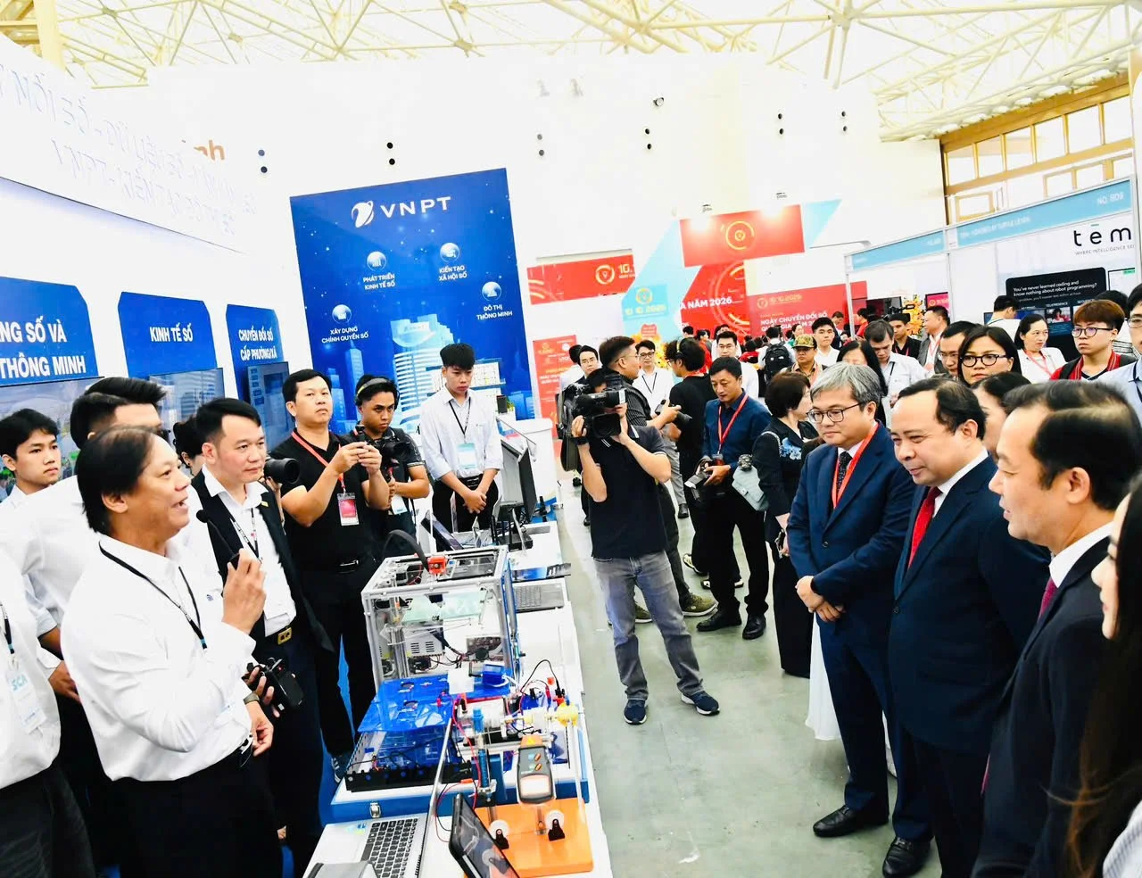
At the booth, Mr. Lê Xuân Sơn – Deputy General Director of VNPT-IT introduced VNPT’s digital transformation solutions in 4 areas: the Digital Society, Digital Infrastructure & Smart Cities, the Digital Economy, and commune/ward-level digital transformation. The Deputy Minister also experienced the solution, which supports rapid health assessments for VNPT.
This year’s booth theme is Digital Connectivity, Digital Data, and Digital Operations – VNPT Building Digital Cities. The SPDV solutions were introduced to visitors through 4 core digital transformation solution groups developed by VNPT. These included:
Digital Society: A live demonstration of the Leanbot smart educational robot operating on a model course simulating the AIROC competition. Also featured was a comprehensive digital healthcare ecosystem, including the AI Jarvis Med assistant platform, the DrCare247 health management app connected to smart home medical devices, and the SSI Wellness facial analysis solution for health assessment.
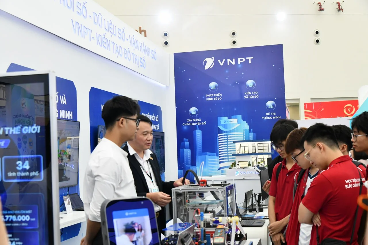
Digital Infrastructure and Smart Cities: The “digital shield” information security solution featuring VNPT S-Gate 360 for businesses and the S-Defender app for households. Visitors also experienced the VNPT Smart Home solution, along with the Edge device trio AI from the Center of Excellence (AI Camera, AI Gateway, and AI Laptop), which enhance security and enable edge data processing.
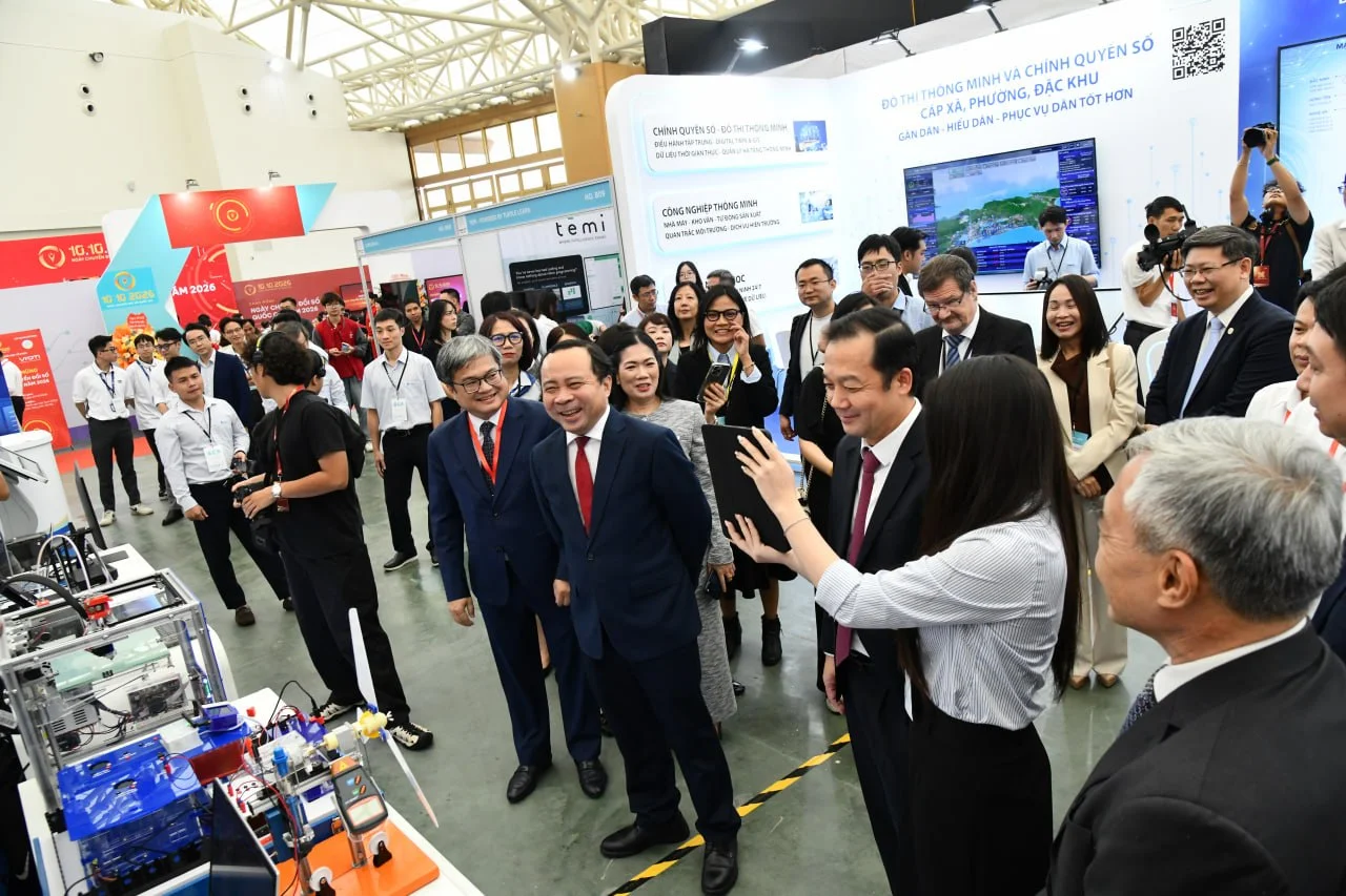
Digital Economy: A demonstration of a technology ecosystem combining unmanned aerial vehicles and artificial intelligence VNPT UAV Platform. A GenAI robot integrated with the Knowledge Hub and Agentic AI systems was also displayed to support customer service. In particular, the Smart Agriculture solution IoT/AIoT, combined with the VNPT Green platform, provides a comprehensive solution, from optimizing operations to increasing the value of agricultural products.
Commune-level Digital Transformation: VNPT’s commune-level digital transformation ecosystem applies AI, IoT, and the GIS digital map to help local authorities manage operations using real-world data, creating a safe, modern environment and strengthening connections between authorities and residents.
That afternoon, at the National Digital Transformation High-Level Forum, Mr. Phạm Đắc Bảo – Director of VNPT UAV Lab, presented a paper entitled “Applying UAV and AI to build databases, monitor natural resources and the environment, and develop digital agriculture”, attracting significant interest from leaders of ministries and sectors as well as experts.
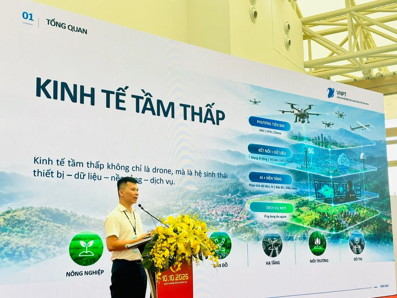
As 2026 begins, VNPT has clearly defined the “low-altitude economy” as more than just drones; it is a comprehensive ecosystem encompassing devices, data, platforms, and services. The paper addressed important current issues, including the Shared Platform approach: rather than making fragmented investments in which each sector has its own devices and systems, VNPT UAV Platform provides a shared platform for multiple industries. With just one flight mission, the platform can collect multiple layers of data to serve different use cases, delivering long-term value and a flexible database while avoiding duplicate investments; the VNPT UAV platform offers practical solutions for areas such as forest management, helping detect forest fire and deforestation risks at an early stage; transport infrastructure, supporting the monitoring and inspection of roads and structures; cities and public assets, helping digitize and manage assets effectively; and agriculture, supporting crop monitoring and productivity optimization toward smart agriculture. Mr. Bảo emphasized that combining VNPT UAV with the green agriculture platform (VNPT Green) will create a green, smart, and sustainable agricultural value chain. VNPT has mastered the flight operations management platform (UTM), developed specialized AI models for detecting land-use changes and construction violations, and possesses robust digital infrastructure with nationwide telecommunications coverage and data centers ready to store and process images and videos from UAV.
There are currently 30 communes using the solution to digitize and collect data for monitoring land use and assets on land. Once collected, the data is connected to VNPT iSatLand, a specialized application that supports the management, monitoring, and tracking of construction violation sites on a remote-sensing map platform and GIS. At VNPT, the solution is also being deployed to monitor BTS stations, helping reduce monitoring and operating costs while minimizing risks to personnel who climb towers.